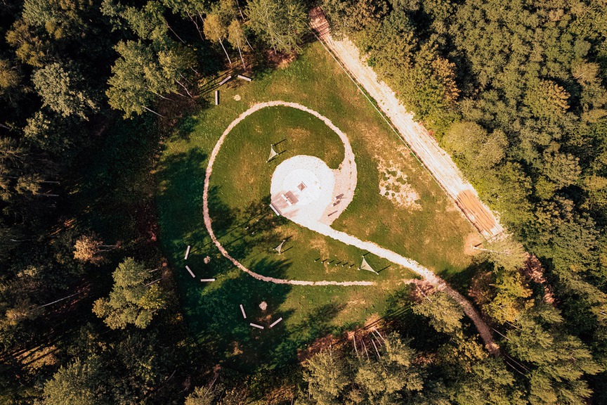
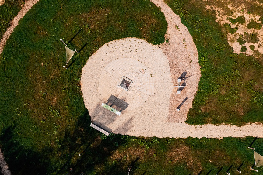
Struve Geodetic Arc point BRISTEN
Seces pagasts, Aizkraukles novads, LatvijaIn 2005, the Strūve Geodetic Arc was inscribed on the UNESCO World Heritage List as the longest and most accurate geodetic survey system of its time and an outstanding testimony to the scientific, historical and technical development of its time. It stretches across 10 countries. The point consists of a granite cube with a lead centre, engraved with two crossed lines, marked with a dot in the centre and engraved with the year 1828. The granite cube was bricked and covered with four bricks to protect the point from external influences. After the measurements were taken, the point was covered with boulders and filled in, with the centre protruding upwards.
In November 2020, the restoration work was completed and the site was inaugurated on 14 May 2021.


- Aizkraukle municipality and Koknese Tourism Information centre
1905. gada iela 7, Koknese
(+371) 29275412, (+371) 65161296 - Aizkraukle Tourism Information point
Lāčplēša iela 4, Aizkraukle
(+371) 25727419 - Jaunjelgava Tourism Information point
Jelgavas iela 33, Jaunjelgava
(+371) 27366222 - Pļavinas Tourism Information point
Daugavas iela 49, Pļaviņas
(+371) 22000981 - Skrīveri Tourism Information Point
Daugavas iela 85, Skrīveri, Skrīveru pagasts
(+371) 25661983 - Staburags Tourism Information point
Staburaga saieta nams, 2. stāvs, Staburags, Staburaga pagasts
(+371) 29892925 - Nereta Tourism Information point
Dzirnavu iela 5, Nereta, Neretas pagasts
(+371) 26674300 - Mazzalve Tourism Information point
Skolas iela 1, Ērberģe, Mazzalves pagasts
(+371) 26156535 - Irši Manor Barn - Magazina
Irši, Iršu pagasts
(+371) 29275412
