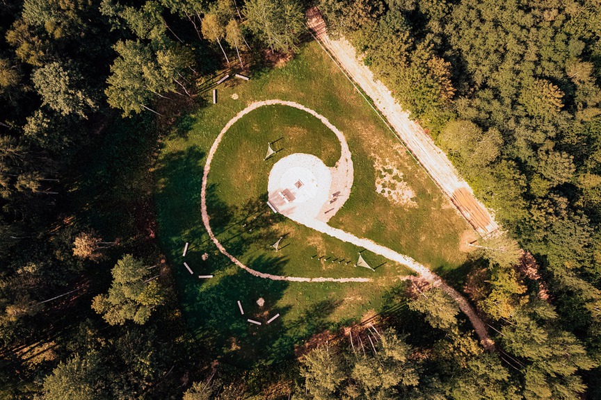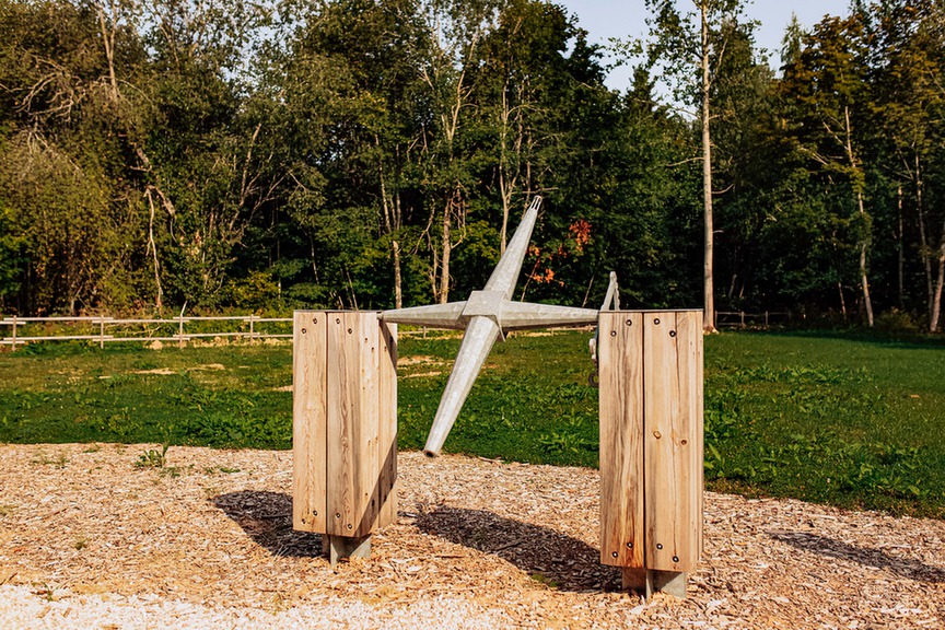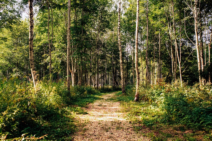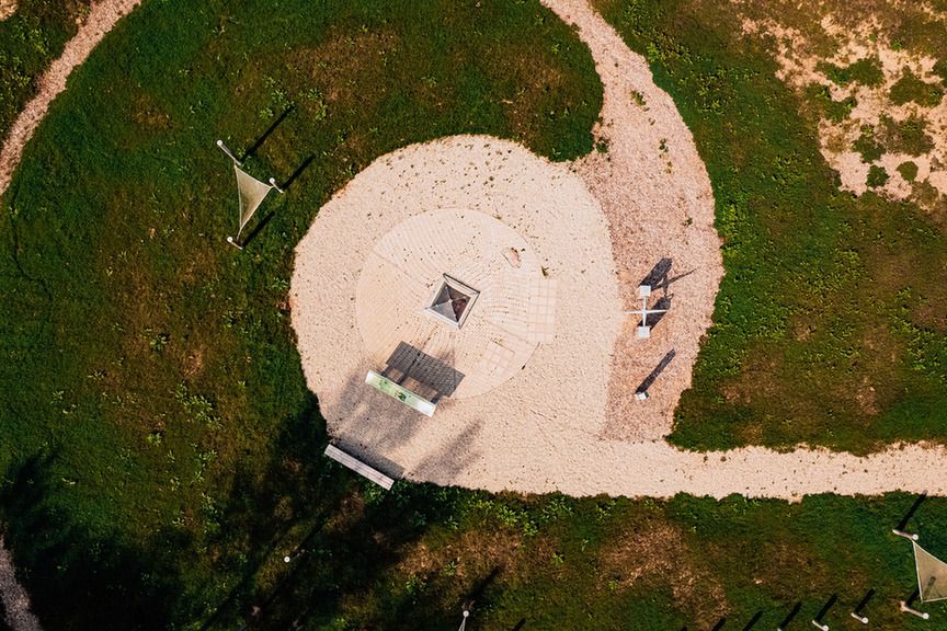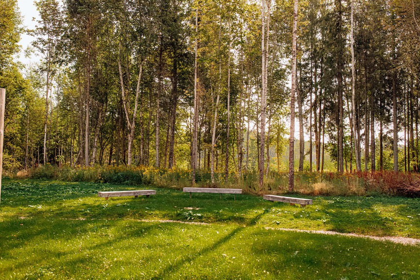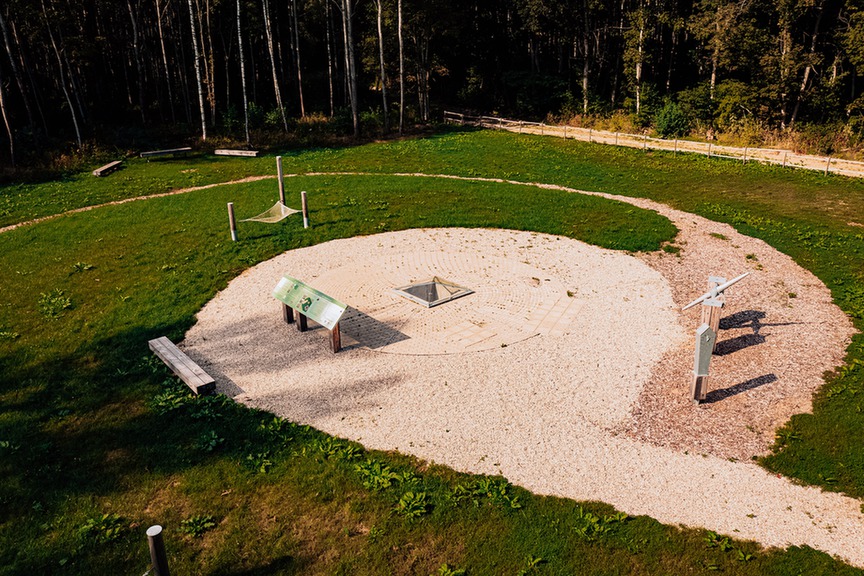
Struve Geodetic Arc point BRISTEN
- Seces pagasts, Aizkraukles novads, Latvija
- 56.576763, 25.351868
- Waze
- Google maps
The Struve Geodetic Arc was inscribed on the UNESCO World Heritage List in 2005 as a unique example of the longest and most accurate geodetic survey network of the 19th century, as well as an outstanding testament to the development of science, history, and engineering. The geodetic arc extends across ten countries, from the Arctic coastal town of Hammerfest in Norway to the city of Izmail near the mouth of the Danube River on the Black Sea. The Bristen point was surveyed between 1823 and 1828.
The point itself consists of a granite cube with a lead-filled center, engraved with two intersecting lines forming a cross, a central marker point, and the year 1828. The granite cube was enclosed in brickwork and covered with four bricks to protect it from external influences. Upon completion of the measurements, the point was covered with fieldstones and earth, while the center mark was left visible above the surface. The restoration of the site was completed in November 2020, and it was officially reopened on 14 May 2021.

- Aizkraukle municipality and Koknese Tourism Information centre
1905. gada iela 7, Koknese
(+371) 29275412, (+371) 65161296 - Aizkraukle Tourism Information point
Lāčplēša iela 4, Aizkraukle
(+371) 25727419 - Jaunjelgava Tourism Information point
Jelgavas iela 33, Jaunjelgava
(+371) 27366222 - Pļavinas Tourism Information point
Daugavas iela 49, Pļaviņas
(+371) 22000981 - Skrīveri Tourism Information Point
Daugavas iela 85, Skrīveri, Skrīveru pagasts
(+371) 25661983 - Staburags Tourism Information point
Staburaga saieta nams, 2. stāvs, Staburags, Staburaga pagasts
(+371) 29892925 - Nereta Tourism Information point
Dzirnavu iela 5, Nereta, Neretas pagasts
(+371) 26674300 - Mazzalve Tourism Information point
Skolas iela 1, Ērberģe, Mazzalves pagasts
(+371) 26156535 - Irši Manor Barn - Magazina
Irši, Iršu pagasts
(+371) 29275412